


Price
BWP578.00
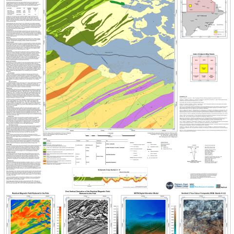
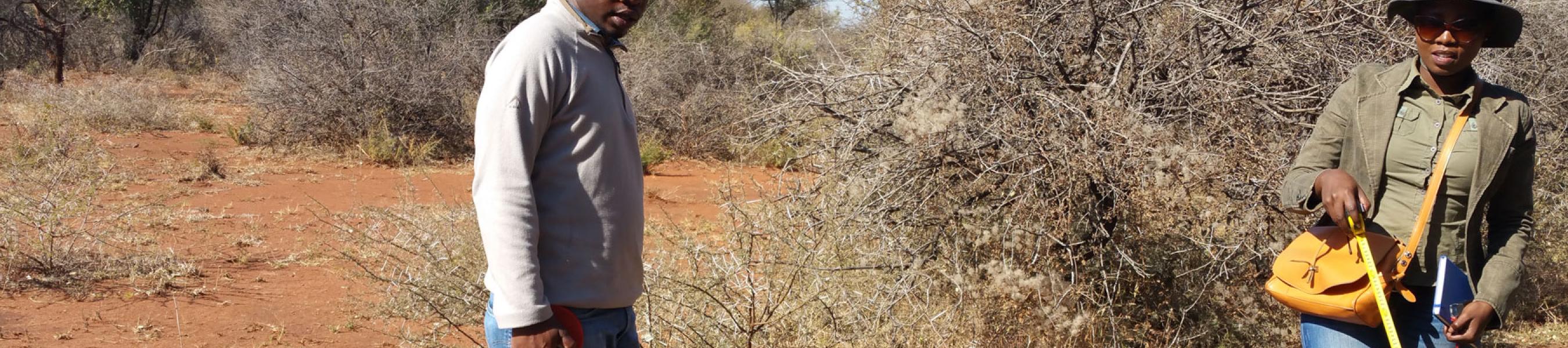
Map sheet 2021D is delimited by latitudes 20.5° S a nd 21° S , and longitudes 21.5°E and 22°E. The area is very sparsely populated with a few small settlements near the southeast corner of the sheet. One roadway runs southeast from the Namibian border to Kareng. The pre-Kalahari bedrock of the sheet largely comprises Ghanzi Group, Roibok Complex and Karoo supergroup strata . The oldest mapped units a re volcanic rocks of the Kgwebe Formation. The map sheet is completely covered by Kalahari Group sediments.
Product Type