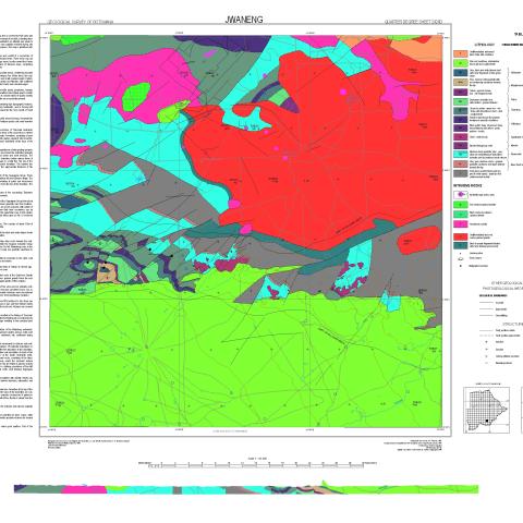
This region forms part of the eastern Kalahari Desert. Most of the map area is covered by thick sand and associated superficial deposits, with relatively few exposures. A narrow range of low hills, extending from Sesung westwards to Kue Pan, is the principle site of outcrops. Nevertheless an attempt was made to
see through the Kalahari beds to the bedrock, the nature of which was partially revealed during and geophysical prospecting by the De Beers Prospecting (Botswana) Company. This map is published with their collaboration.


