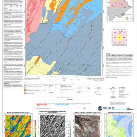
Map sheet 1923 is delimited by latitudes 19°S a n d 20°S, and longitudes 23°E and 24°E. The largest population centre area within the map sheet is the Town of Maun . Several smaller villages and settlements are present to the northeast of Maun and are connected via the B334 road. Fly-in camps and lodges are also present in the northwest of the map sheet bordering the Moremi Wildlife Reserve. The pre-Kalahari bedrock geology comprises the Kwando Complex in the northwest adjacent to the Ghanzi-Chobe Belt in the southeast. Karoo sedimentary and volcanic rocks cover these two units and mask their contact relationship. The map sheet is entirely covered by Kalahari sediments, and no pre-Kalahari outcrops are known in the area.


