


Price
BWP495.00
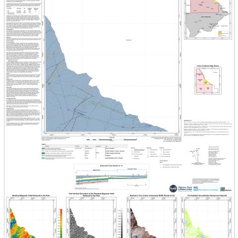
Map Sheet 1926 is delimited by latitude 20° S , longitude 26°E a nd the Zimbabwe border. The map sheet is sparsely populated with only the village of Sepako and a couple of minor settlements connected via road way to Nata . Highway A33 runs north-northwest through the west of the sheet. The pre-Kalahari geology consists exclusively of Karoo volcanic rock underlain by Karoo Supergroup sedimentary strata. Several southeast trending Okavango Dyke Swarm has also been mapped.
Product Type