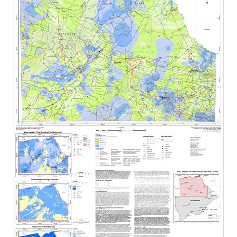
The basement geology interpreted from aeromagnetic data was reclassified into five hydro lithological classes being, dominantly intergranular sedimentary rocks, fractured/weathered metasedimentary rocks, karstic rocks, fractured/weathered volcanic rocks and fractured/weathered basement complex rocks. Existing borehole data comprising of lithological logs, borehole yield, depth to water strikes, groundwater levels, total dissolved solids (TDS) were then assigned to the different hydro-lithological units. These data sets were then used to interpolate aquifer productivity and water quality distribution (TDS) for each hydro-lithological unit in the study area. This groundwater resources potential map is produced to illustrate the groundwater potential of the area and potential groundwater quality based on best available (existing) borehole data for planning purposes. Primarily it indicates potential aquifer productivity, potential groundwater quality, depth to first water strikes and groundwater flow directions in necessarily generalized terms. Thus the map provides information of a regional nature on the known aquifers in the area. This map should assist planners and developers in selecting those areas most favorable for groundwater development but it cannot be considered suitable for local borehole siting purposes.


