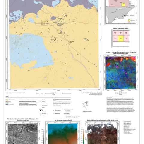
This map was produced from interpreted multispectral satellite imagery and topographic data covering Northern Botswana integrated with geophysical data, existing geological and planimetric maps and interpreted borehole logs. All data layers were collated in a GIS environment and interpreted manually for the surficial geology and geomorphology. Landsat 8 OLI and Sentinel 2 MSI multispectral satellite imagery was acquired and processed to at surface-reflectance across the entire project area as seamless mosaics. Band ratios, colour composite imagery and principal component analysis (PCA) were computed. Shuttle Radar Topography Mission (SRTM) Version 3.0 Global 1 arc-second data was also obtained, and a digital elevation model and topographic derivatives covering the entire project area were produced. Grids of airborne radiometric data count rates, ternary images and band ratios were additionally produced, where the limited datasets were available.
Satellite false-colour composite imagery, particularly from PCA bands, were used as the primary interpretation datasets to define surficial units. As the project area is largely covered by unconsolidated sediments of the Cenozoic Kalahari Group, the interpretation was limited to define major surficial features such as Okavango Delta sediments, Lake Makgadikgadi and lacustrine sediments, alluvial and paleo-alluvial sediments and undifferentiated bedrock or inferred exposed bedrock. Existing planimetric data served as the baseline for mapping which was augmented by geological observations from borehole logs as no ground truthing was performed for the project. The topographic datasets largely guided the interpretation of surficial topographic features such as lineaments and dune crests.


