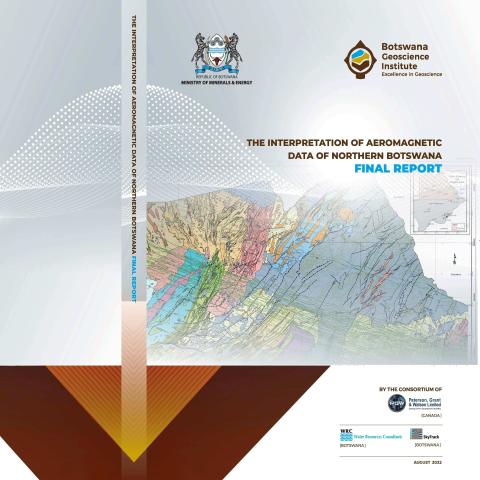
This technical report documents the interpretation of geophysical and geological data for the project entitled “Consultancy services for the interpretation of aeromagnetic data of Northern Botswana”.
The primary objectives of the project include:
Interpretation of aeromagnetic data covering Northern Botswana at a scale of 1:250,000. The area comprises all quarter degree sheets (QDS) that have not been mapped and those that are partially mapped and hence need updating with new existing geological information.
Advance geological knowledge in the area by mapping the subsurface geology and structure of the area concealed by the thick Kalahari sands to unlock mineral potential and provide comprehensive data/information to foster private sector investment in mineral exploration and/or exploitation.
Secondary objectives of the project are:
To identify basement structures and related hydrological features of importance for the occurrence and movement of groundwater within the project area.
To map lithologies and structures associated with base metals, semi-precious and precious metals, as well as PGMs mineralization or occurrences.
To outline zones of anomalous physical properties (magnetic, gravimetric, electromagnetic and radiometric) typically indicative of or associated with certain mineral concentrations, thus becoming targets of subsequent, more detailed investigations (such as geochemical sampling detailed geophysical surveying and drilling).
To update the National Geological Map of Botswana.
To provide training through professional skill transfer and exposure of local professionals to systematic large-scale geophysical/geological interpretation work, including 2D and 3D geophysical
modelling.


