

Price
BWP578.00
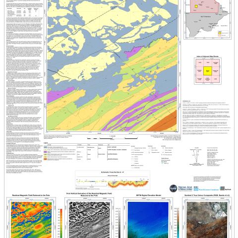
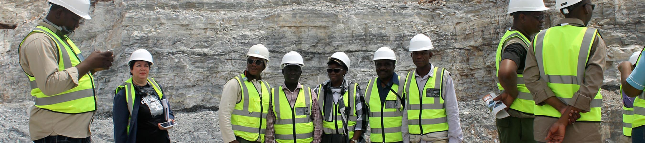
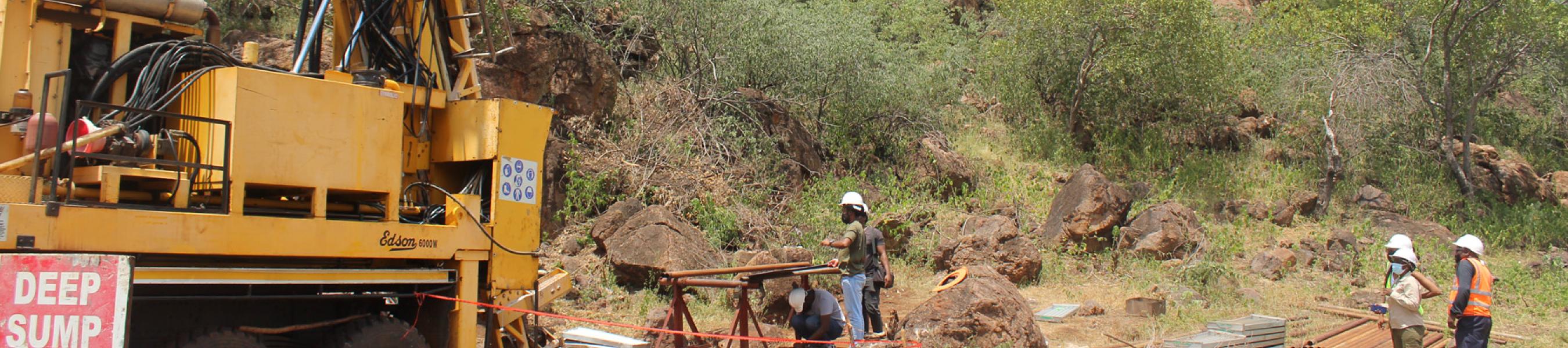
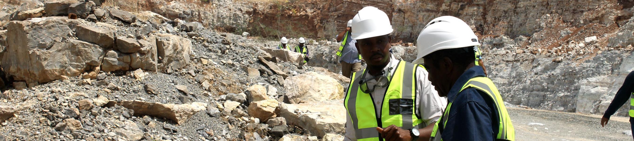
Map sheet 2022C is delimited by latitudes 20.5°S and 21°S, and longitudes 22°E and 22.5°E. The area has a few small villages and settlements, primarily in the east but contains no development in the northern and western areas. Highway A3 and several primary roads and gravel track s cross the map sheet.The pre-Kalahari bedrock of the map sheet primarily consists of two geological groups - the highly deformed Ghanzi Group, which is unconformably overlain by y ounger Karoo Supergroup strata. The Kgwebe Formation underlies the Ghanzi Group and is the oldest mapped unit.
Product Type