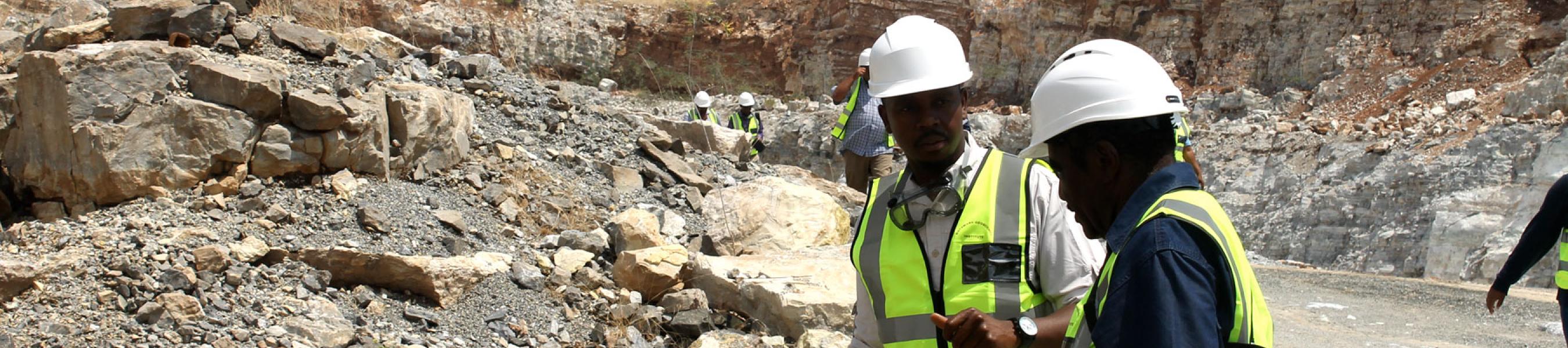

Botswana Geoscience Institute (BGI) & Japan Oil, Gas and Metals National Corporation (JOGMEC) held the 2018 Remote Sensing Seminar on November 02, 2018 in Lobatse.
This is an annual event that follows the established a Remote Sensing Center in Lobatse through a Memorandum of Collaboration signed in 2008 by then Geological Survey Department. Through this collaboration, JOCMEC carries out technical projects in geologic remote sensing. The agreement also involves other Member countries from the SADC Region.
A key feature of the MoU was the establishment of this Center whereby JOGMEC would provide opportunities for training programmes and technical transfer of remote sensing technologies. This cooperation also offers t mutual benefits through joint mineral investigation projects, thus contributing to further economic and sustainable development of the mining sector.
The Geologic Remote Center is equipped with state-of-the-art hardware and software for satellite image analysis, offering valuable opportunities for unique training programs and practical joint satellite image analysis.
The results of these joint analysis are used for identification of promising areas for exploration, mapping and potential evaluation of mineral resources.
JOGMEC offers both long and short term courses for Geologists who wish to acquire remote sensing and GIS techniques. The Center also offers remote sensing workshops to introduce remote sensing technology for beginners. There are also remote sensing competitions designed to improve and upgrade the technical skills of entrants.
About Remote Sensing
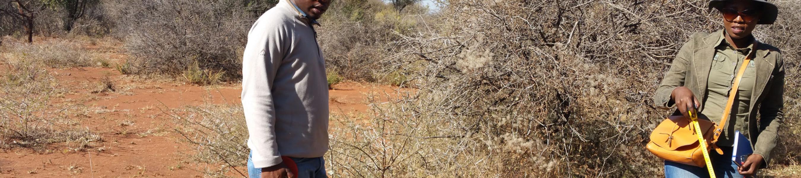
Remote sensing is a data acquisition method complementary to the field observation method and it allows mapping of geological characteristics of regions without physical contact with the areas that are being mapped. It is the process of detecting and monitoring the physical characteristics of an area by measuring its reflected and emitted radiation at a distance from the targeted area. Special cameras collect remotely sensed images of the Earth, which help geological researchers "sense" things about the Earth.
Released by: BGI Marketing and Communication Department
Dated: November 01, 2018