

This project is scheduled for 56 Weeks and commenced in June 2018 and it is expected to be concluded in July 2019.
Overview
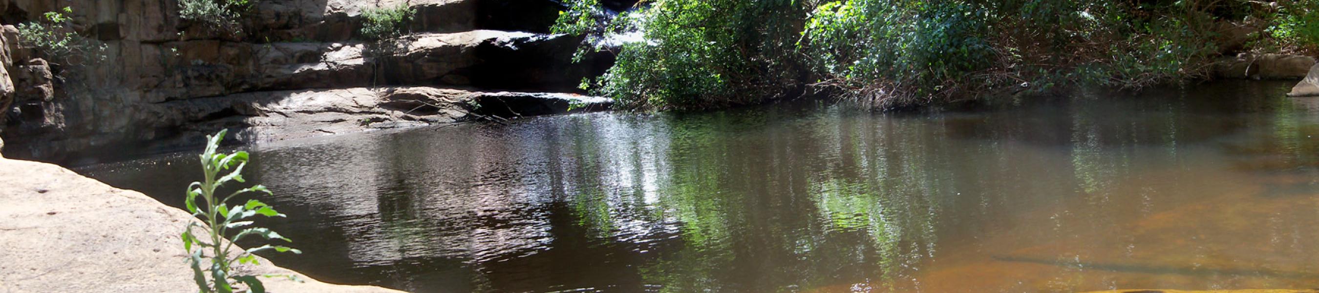
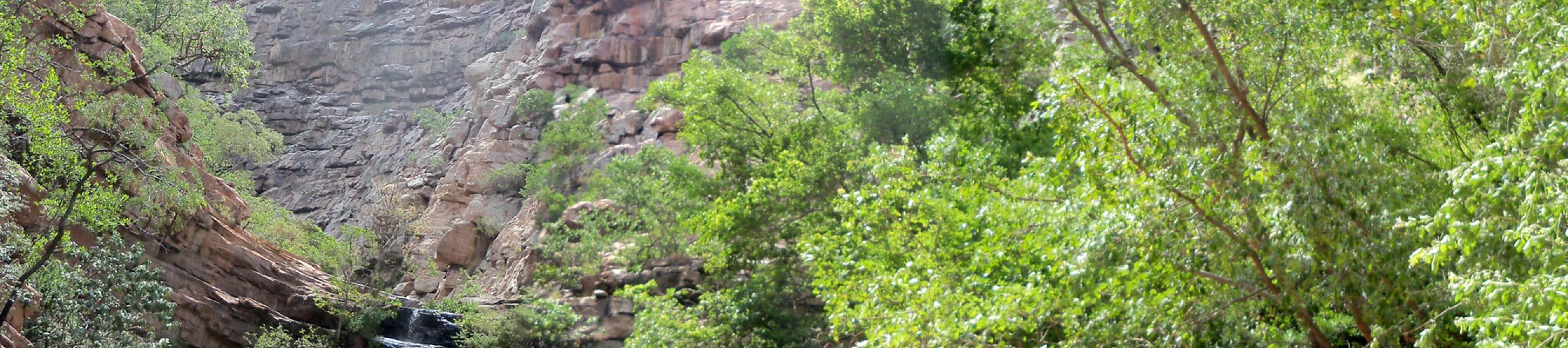
This project entails geological revision of Quarter Degree Sheets (QDS) and standardization and formalization of lithostratigraphic units in the South East part of Botswana.
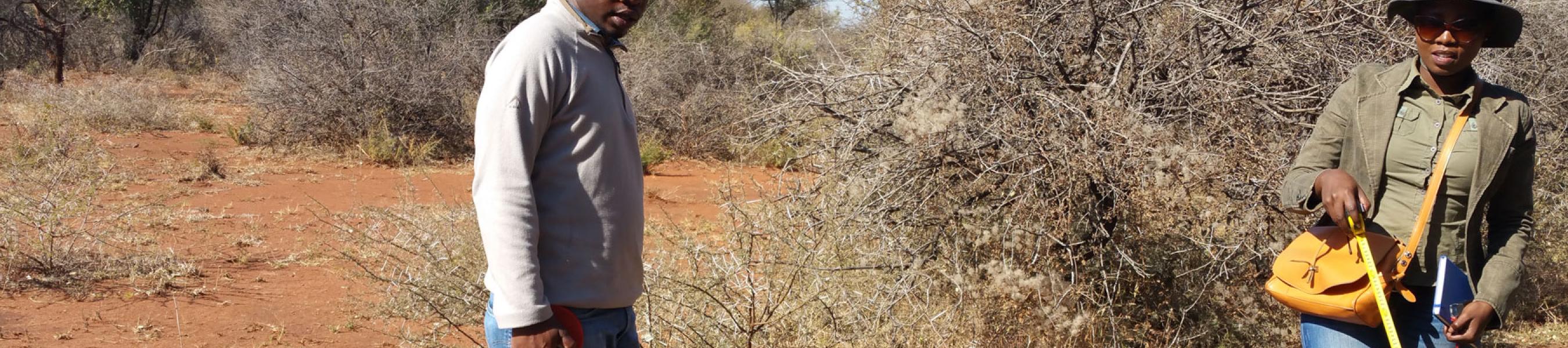
Project execution includes interpretation and integration of existing geological maps (QDS) with other geoscience datasets (e.g. exploration, geophysics, geochemistry, remote sensing, aerial photos, and borehole data) to produce updated geological maps and reports. These will address inconsistencies identified on existing QDS maps by adding structural data, mineral occurrences as well as improving information accessibility through development of databases. The latter will enhance effective and efficient exploration and development of the mineral sector in SE Botswana. JOGMEC has indicated interest in participating in this project and discussed is underway to finalise the collaboration.
Project deliverables
- Eight updated QDS geological maps (2425B, 2426A, 2426C, 2425D, 2425C, 2525A, 2525B, 2525C) and a report
- Standardized and Formalized lithostratigraphic units
- Interpretated Geophysical datasets (TMI, Vertical derivatives, Analytical Signal Amplitude, gravity)
- Interpretated Remote Sensing Maps (Analytical signal, PC images, classified images, structural map.
- Project database (Geological, geophysical, borehole and remote sensing)