


BRIEF DESCRIPTION
Map sheet 2126 is delimited by latitudes 21°S and 22°S, and longitudes 26°E and 27°E. The map sheet contains numerous small villages and settlements throughout, connected by numerous dirt tracks, gravel roads and Highway s A3 and A14. The Sowa Pan occupies the northwestern corner of the map sheet.
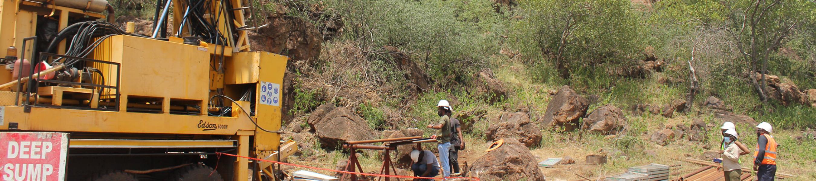
The geophysical data within the sheet consists primarily of regional airborne magnetic datasets merged with several higher resolution survey s and interpolated to a 50 m grid. Radiometric data were also acquired alongside two of the aeromagnetic survey s and provided coverage over most of the map area. Regional gravity data interpolated to a 2.5 k m grid and time-domain electromagnetic covering the northeast corner were also used.
GEOLOGY
The pre-Kalahari bedrock consists of the Matsitama Greenstone Belt on the eastern side overlain by Karoo Supergroup volcanic and sedimentary sequences. A significant number of Okavango Dyke Swarm occur throughout the map sheet.